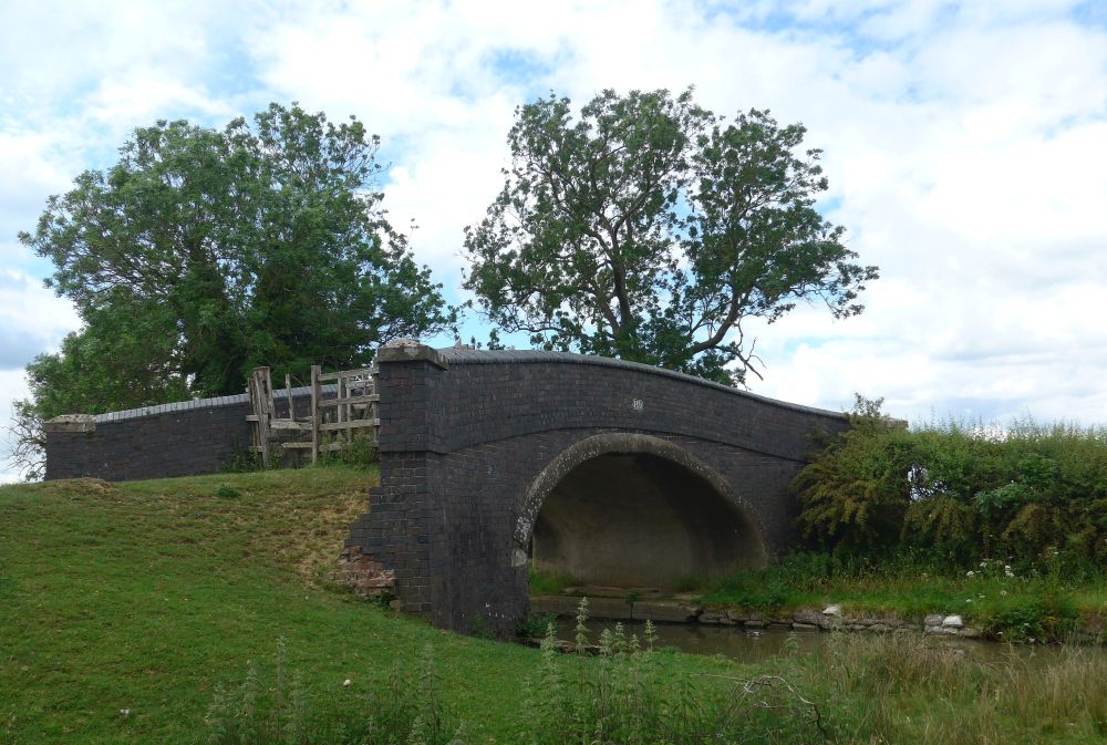
The top of the bridge and field to the side was easily accessible on this occasion, but they’re technically not public access, the GPS location being the centre of the towpath underneath the bridge, grid reference SP 52893 67788, 97.8m (321 feet) above sea level. Visited 31 May 2026, 1:30 pm.
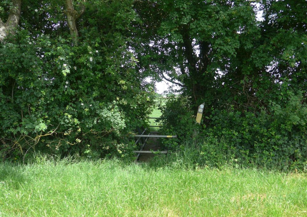
The precise location is the centre of path between the posts of the gateway on golf course side, grid reference SP 28533 68858, 95.9m (315 feet) above sea level. Visited 30 May 2025, 2:15 pm.

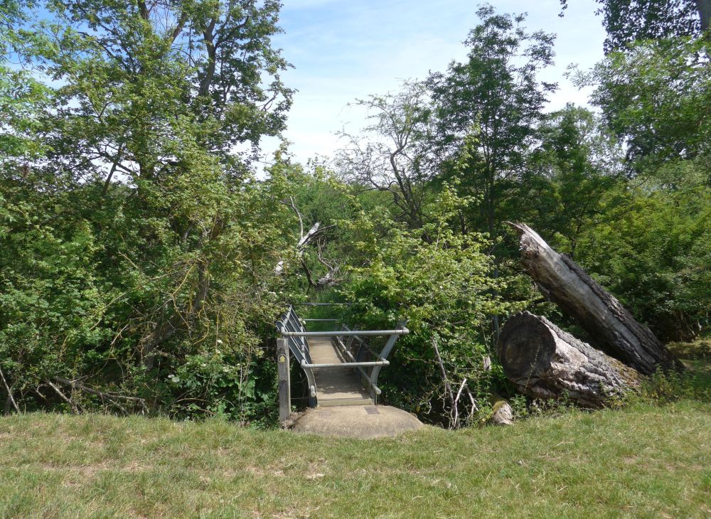
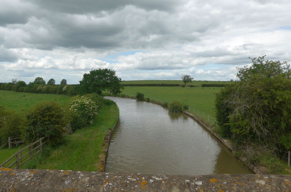
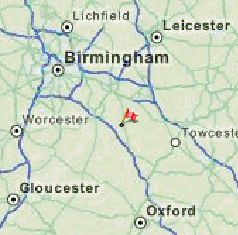
Grid reference (centre of footbridge) SP 30553 50625, 63.3m (208 feet) above sea level. Visited 30 May 2026, 12:45 pm.
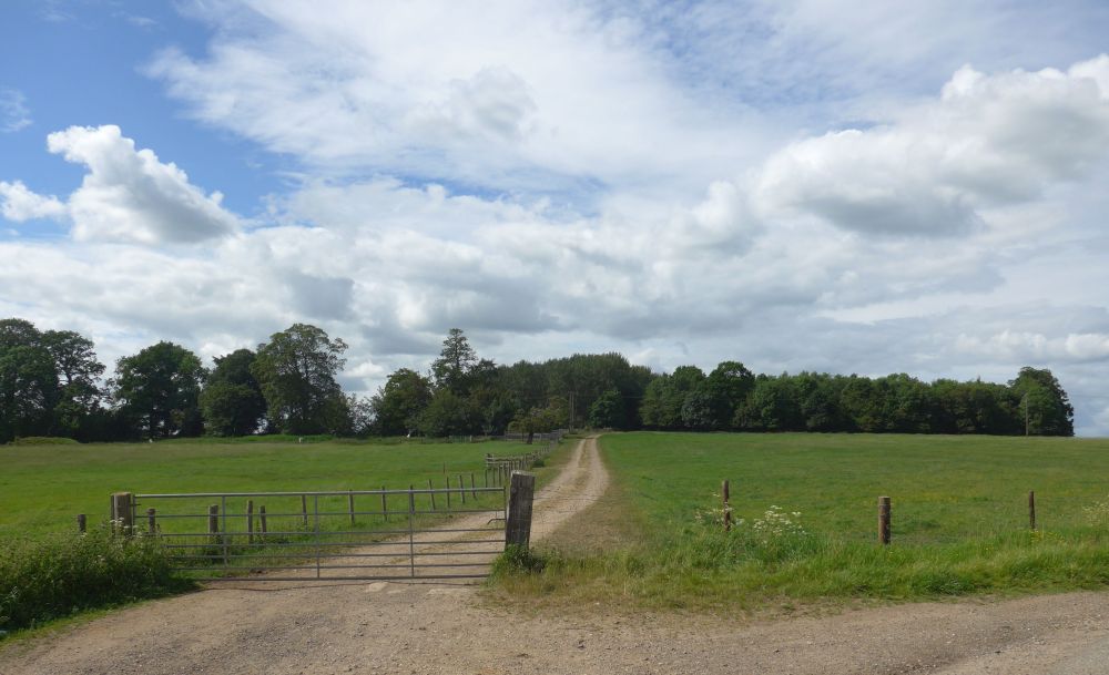
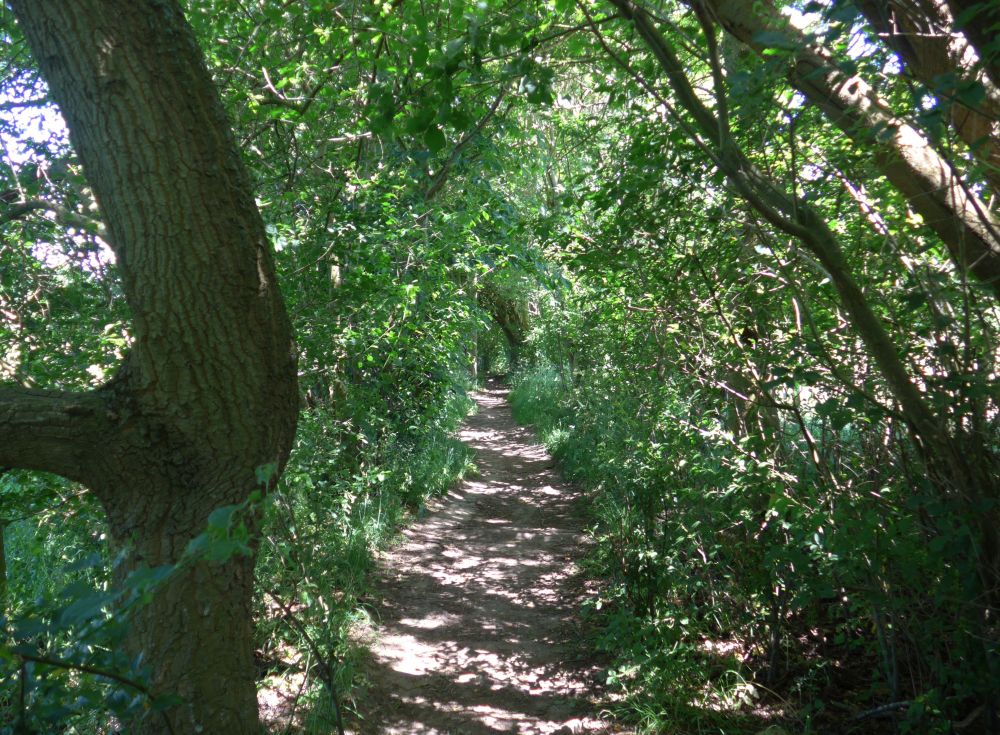
Pleasant midday walk half-a-mile from Combrook village. Soggy underfoot in one place, in spite of the recent heatwave. Heard a cuckoo calling from the east.
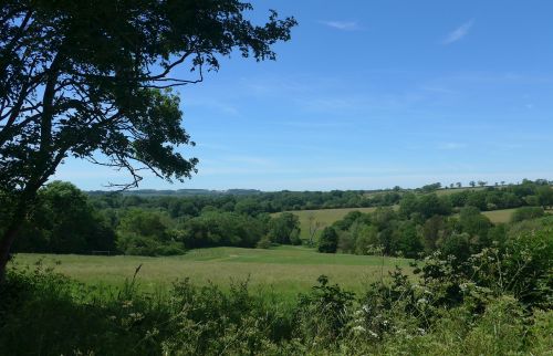
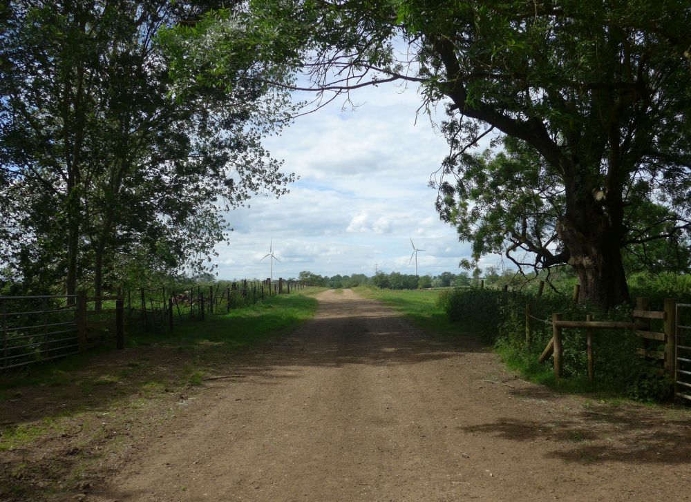
A two-thirds-of-a-mile walk across the fields from Ladbrook church. Would have been half-a-mile but the public path was buried under a tall crop, necessitating walking around the edge of a 25 acre field. Beautifully warm, sunny day, last day of the recent heatwave. Had the pleasure of coming across a Roe Deer on the way.