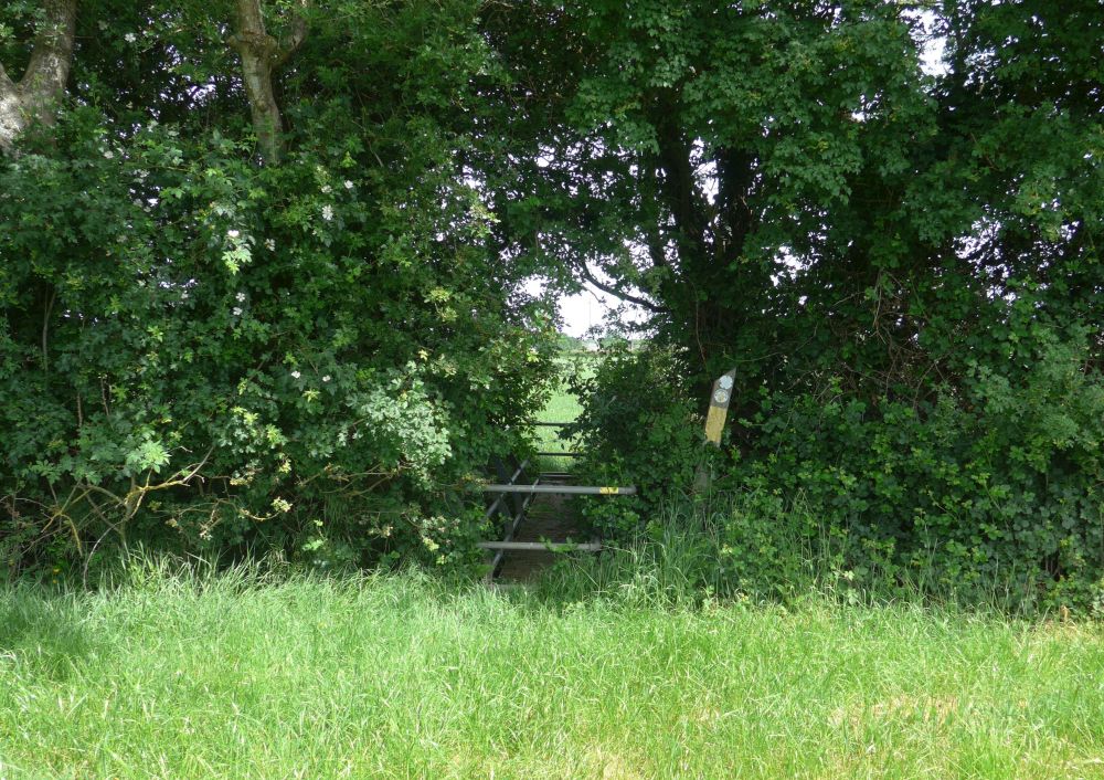
Lot Brook footbridge from the south. Grid reference (centre of the footbridge) SP 41259 59476, 84m (275 feet) above sea level. Visited 30 May 2026, 11:25 am.
A two-thirds-of-a-mile walk across the fields from Ladbrook church. Would have been half-a-mile but the public path was buried under a tall crop, necessitating walking around the edge of a 25 acre field. Beautifully warm, sunny day, last day of the recent heatwave. Had the pleasure of coming across a Roe Deer on the way.
Lot Brook itself.
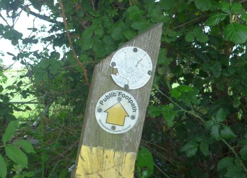
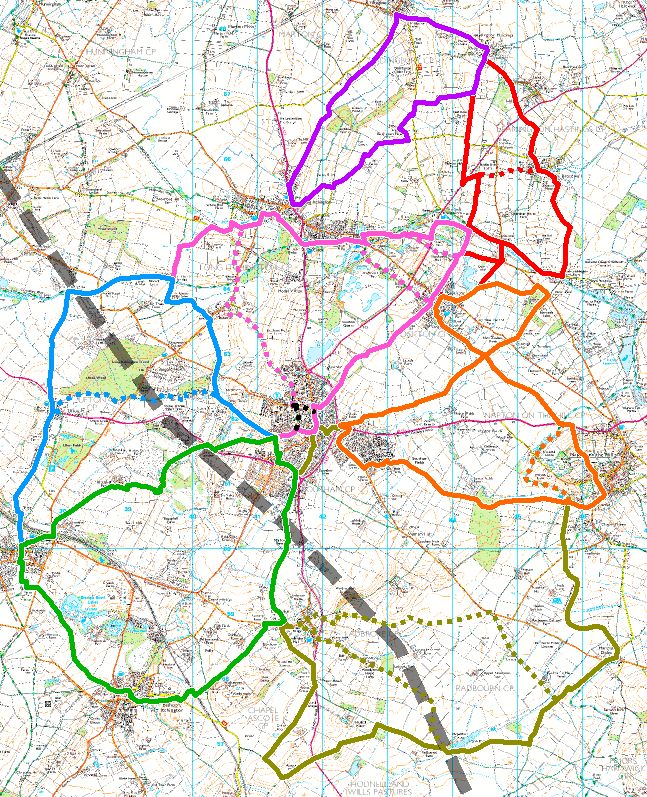
The rather faded label at the top of the post refers to the Blue Lias Rings, a series of walks around Southam – 65 miles of paths – set up some years ago. I can find no current reference to the walks on the current Southam Town Council web site, so they appear to have been decomissioned as an actively-managed entity. PDFs of the routes have been preserved at archive.org. I’ve created a set of GPX files here as well as a PDF of the full “Blue Lias Rings Working Party” 2005 publication here. The latter is copyrighted, but as it appears to be out of print and unavailable online, I thought it would be nice to preserve a copy. Note that the south-western part of the area has now been sliced through by HS2, so some of the route descriptions are no longer valid or followable.